Eco-Logical Pilot Project: Free Bridge Congestion Relief
Pilot Project Logo
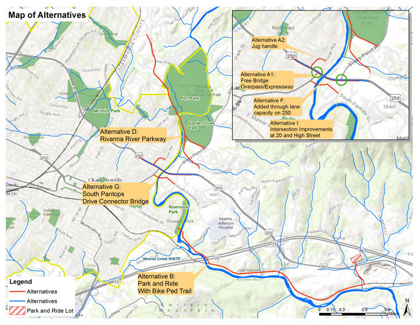
The Eco-Logical Free Bridge Area Congestion Relief Project was an 18 month study focused on developing congestion mitigation solutions for in the vicinity of Free Bridge (Free Bridge is the locally applied term for where US250 crosses the Rivanna River). Seven alternatives were developed and analyzed during this project. Each alternative was careful vetted and analyzed by a group of stakeholders.

The project was made possible by a grant from the Federal Highways Administration, who selected the Charlottesville MPO to be a pilot community for testing the Eco-Logical approach to transportation planning. The Eco-logical Approach, is a new and innovative approach to transportation planning that encourages a holistic approach to developing infrastructure projects. The MPO’s implementation of this approach focused on how the process and tools could work on a local level.

A key component of the project was the development of a stakeholder group. The stakeholder group made up of elected officials, staff from local governments, citizens, business owners and residents. The group was charged with helping MPO staff identify transportation solutions and discuss each alternatives possible impacts and needed mitigations. The stakeholder group met seven times over the course of the project and develop a set of seven transportation alternatives. The stakeholder identified alternatives were then analyzed by staff and an engineering consultant to determine each projects cost, feasibility, environmental impact and mitigation. Throughout the process, the Committee was given the ability to remove projects and or provide detailed input. To accomplish this level of dialog the MPO worked with UVA’s Institute for Environmental Negation, who provide meeting facilitation and mediation services at all stakeholder and public meetings.

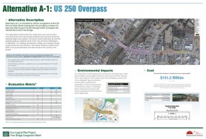
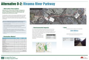
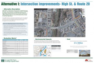
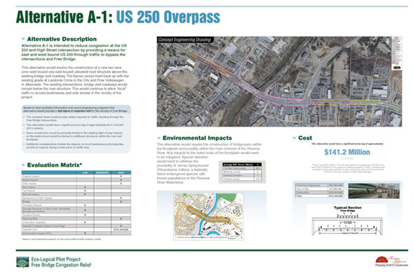
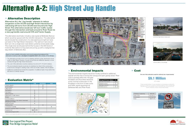
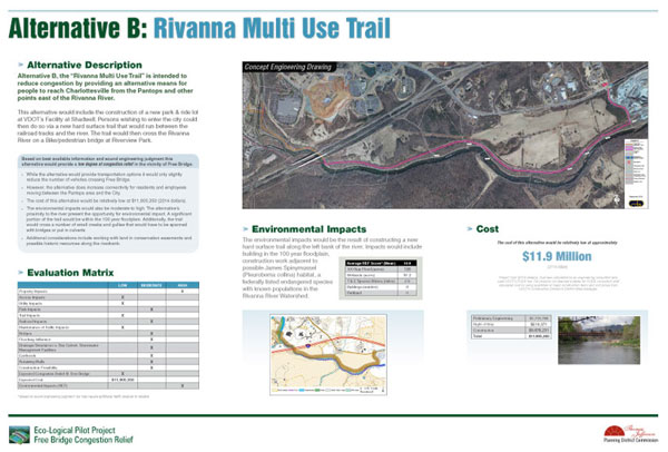
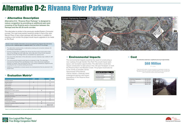
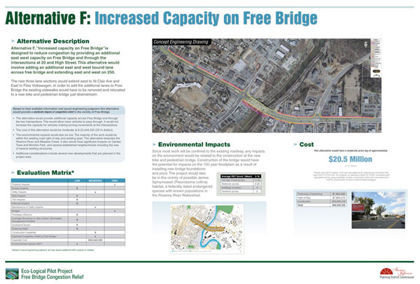
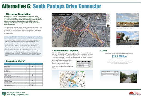
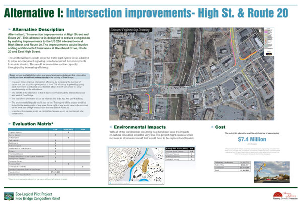
Click to view the Alternatives Map and posters below:

Statement of Problem

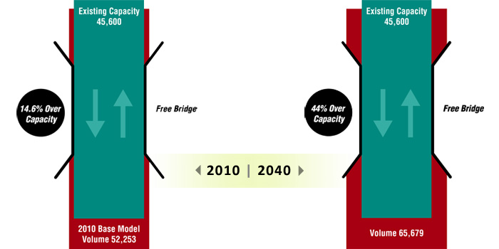
The US 250 link across the Rivanna River is known locally as Free Bridge. This bridge is a key connection for local and regional traffic, but continued use of this link will result in more congestion, economic development and public safety issues that must be addressed. Regarding congestion, there are currently 53,000 vehicles per day on Free Bridge and the overall level of service is an F. The MPO’s travel demand model estimates that Free Bridge will have a daily traffic volume of approximately 70,000 vehicles a day in 2040, making Free Bridge’s already failing level of service 25 percent worse.

Traffic Volume Graphic

Documents

The following documents were produced as part of the Eco-Logical Pilot Project and each address a specific component of the project. Click the titles below to expand.
This document provides an overview of the Eco-Logical Free Bridge Area Congestion Relief Project and provides a summary of the project outcomes. It includes a discussion of the process and information about each of the project alternatives that were evaluated as part of the project.

This document contains a summary of the facilitated process employed by The Charlottesville Albemarle MPO during the project. The report details how the facilitated process was conducted by UVA’s Institute for Environmental Negotiation. The report also contains an archive of the meeting summaries.

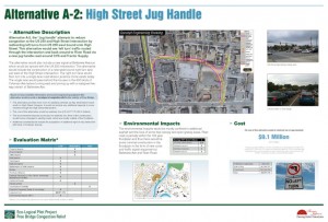
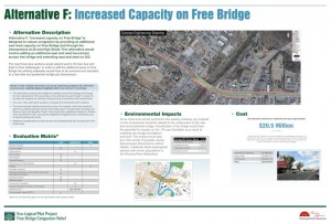
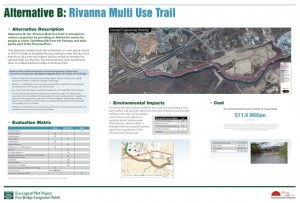
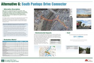
The following document contains copies of the posters that were used for the projects public open house and stakeholder meetings. Each poster provides detailed information about the various impacts of each of the alternatives. The posters also document how TJPDC’s Eco-Logical Regional Ecological Framework was used to analyzed environmental impacts.

The documents below were developed by the projects engineering consultant and provide information about construction feasibility and cost. The report also includes concept illustrations for each project alternative.

This document provides detailed information about TJPDC’s Eco-Logical Regional Ecological Framework Tool. The document describes the Eco-Logical process and then provides details on how the tool works and what data is included in the tool.

At the first stakeholder meeting, held on November 18th, 2013, the MPO presented on the history of the Free Bridge area, specifically focusing on existing and future congestion concerns. This analysis also focused on project alternatives that have been considered for easing congestion issues at Free Bridge. A full report explaining this analysis can be accessed below. The full analysis document explains the data findings, while the appendix shows the resources used to achieve those findings. The document is quite large so the links have been broken out below.